
Bike Loop "Hochmuth" (Hochmuth Runde)
Brief information
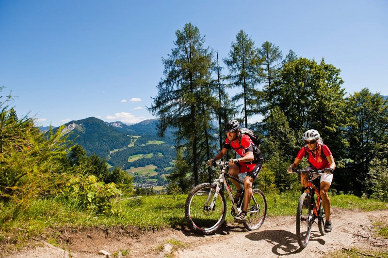
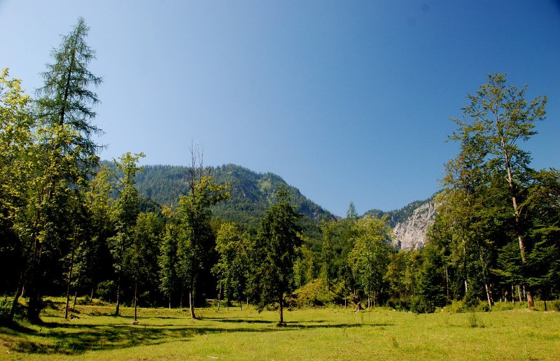
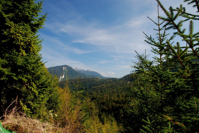
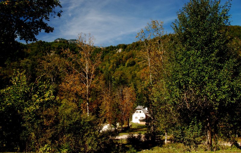
The "Hochmuth loop" to German "Hochmuth Runde" (S310) over 21.9 kilometers and 570 meters of altitude, with crisp uphill to "Hochmuth", then leads comfortably through the Weissenbachtal past the "Chorinsky Klause" to the "Weissenbachwirt". The tour is only for experienced bikers! And now more information about this extraordinary mountain bike tour in Bad Goisern on Lake Hallstatt,,,,
Hochmuth loop -
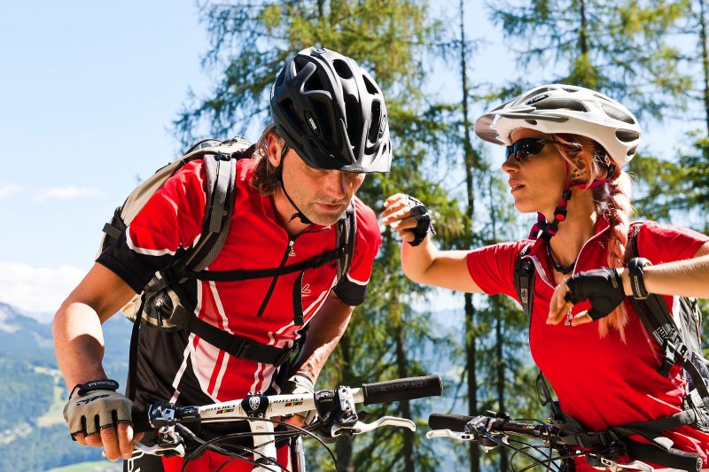
Tour for the experienced mountain biker
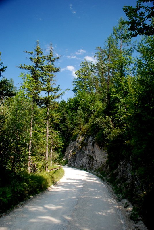
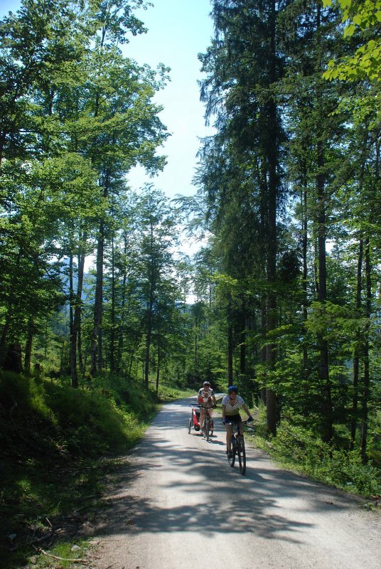
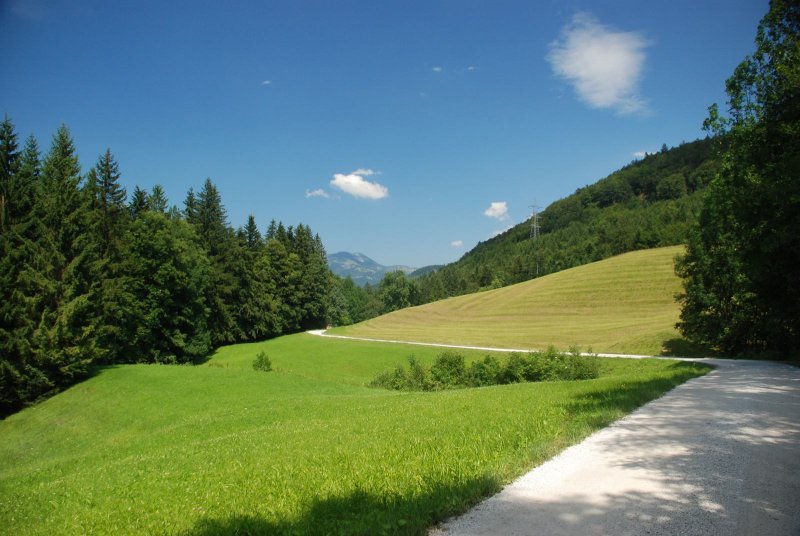
It starts in Bad Goisern, on the west side over the mountains along the town. The mountain bike trail takes about 2-hours, it leads to 2/3 on gravelled forest roads, the rest runs on asphalt and a short single trail.
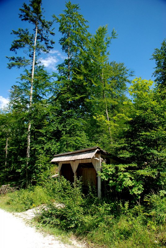
We start at the tourist information Goisern, driving on asphalt ortseinwärts equal right over the main square, at the church turn right, then over the Traun Bridge, there equally sharp right along the Hanusch Hofstraße. We then turn right towards Hanuschhof, the streets are narrower nu soon. We finally come to Weissenbach where we adhere to the inn Chorinskyklause right along the forest road. After slight ascents we reach the Brunneralm.
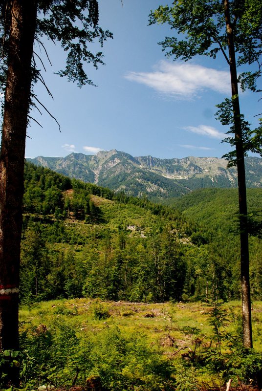
Now the actual increase in the tour begins. We now always keep half left and then go to the highest point (970 HM). A beautiful forest trail leads down now. We pass Hochmuth and continue on a relatively steep paved road downhill. We always hold down on the wider road, first right and at the next junction. Come in Steinach to a crossroads, turn left, cross the bridge and turn Traun in Bad Goisern left back to our starting Point..
Exact directions:
We start at the market town office in Bad Goisern and turn right into the market square. After about 150m at the Unimarkt turn right into Ramsaustrasse and after 350m we cross the Traun and turn right, stay on Ramsaustraße uphill for another 250m and at the crossroads we drive straight ahead on asphalt on the left side of the Ramsaubach uphill for about 1km.
The original route now leads to the first uphill. We cross the stream (km1.8) to the right and follow the path to Steinach. After about 400m we keep left at the buildings (km2.2), take a slight gear and drive steeply uphill on the forest road for about 500m until we meet the Muth II road (km2.7) again, where we turn left.
If you don't dare to do that, you can stay at the bottom of the junction (km1.8) on the Muth II road and pedal up.
After about 300m on the goods road, the original route goes straight ahead in the direction of crisp uphill, the bypass variant follows the goods road (km3.0) to the right and comes back to the original route at the top in Hochmuth. Short pushing distance of about 40m from the parking lot to the top right.
We accept the challenge and pedal about 400m to the farmstead in Niedermuth (km3.4 above sea level 760m), cross the stream and now it goes 150hm and 1.4km steep and washed out uphill. At the fork in the road, turn left along the edge of the forest for another 200m, which is technically demanding, and then the detour path comes up to us from the bottom right (km4.6).
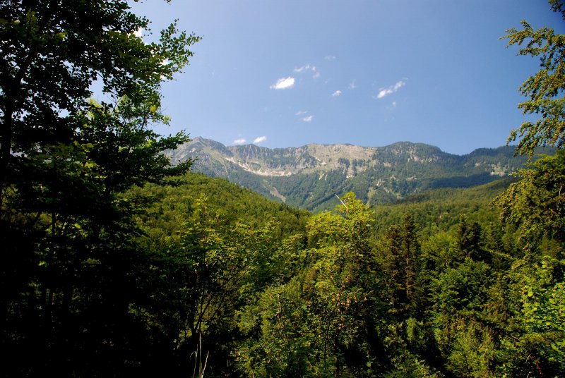
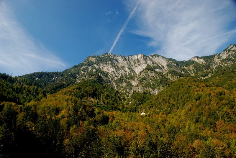
Now the technical and physical demands are done and we can devote ourselves to the natural landscape again. 300 meters later, slightly uphill through the forest, we reach the highest point (km4.9) of this loop with an altitude of 948m.
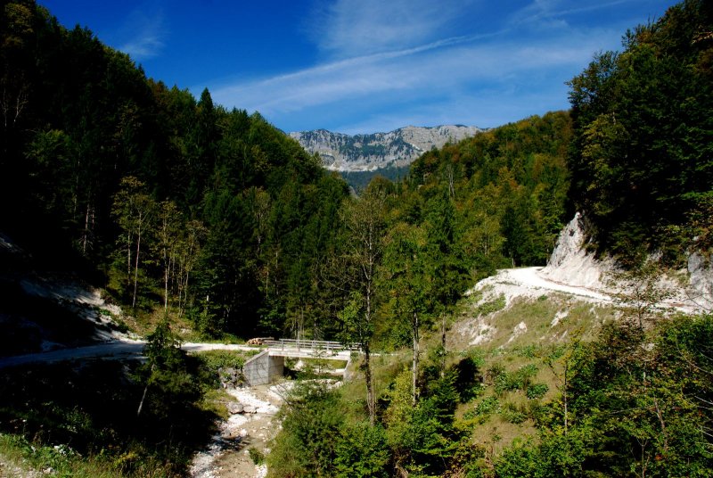
From here it goes downhill on the forest road, always following the main path. We do not pay attention to the turn-offs on the right after 300m, left after another 200m, left uphill after another 1.3km and roll another 1.9km in a right-hand bend (km8.6) down past the junction to meet a crossroads (km9.1) after 500m, into which we turn left down in a hairpin bend.
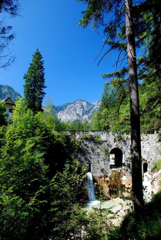
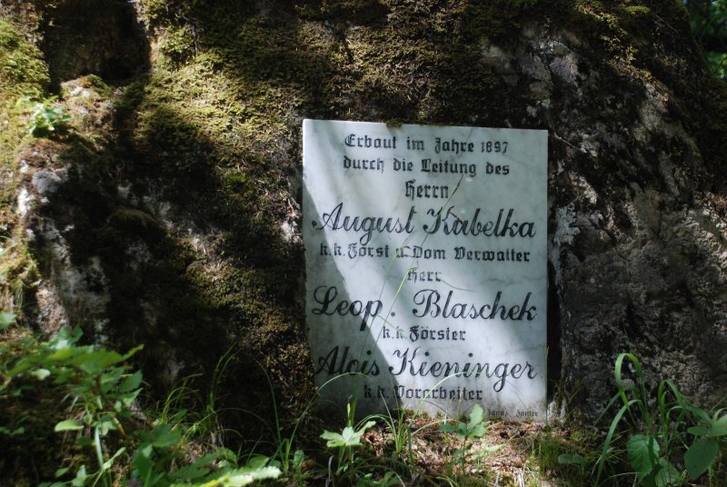
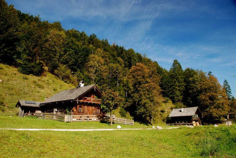
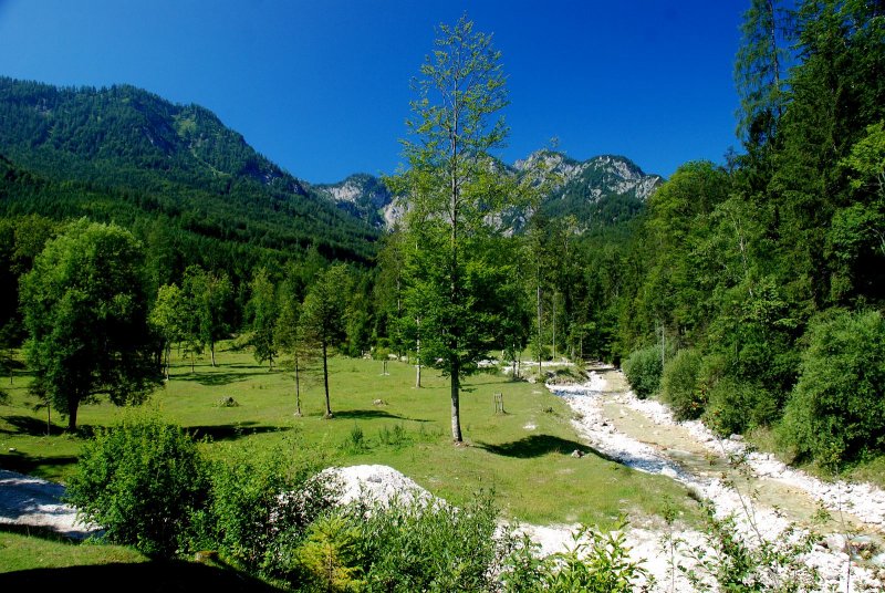
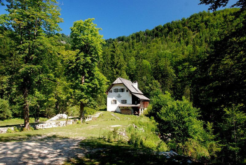
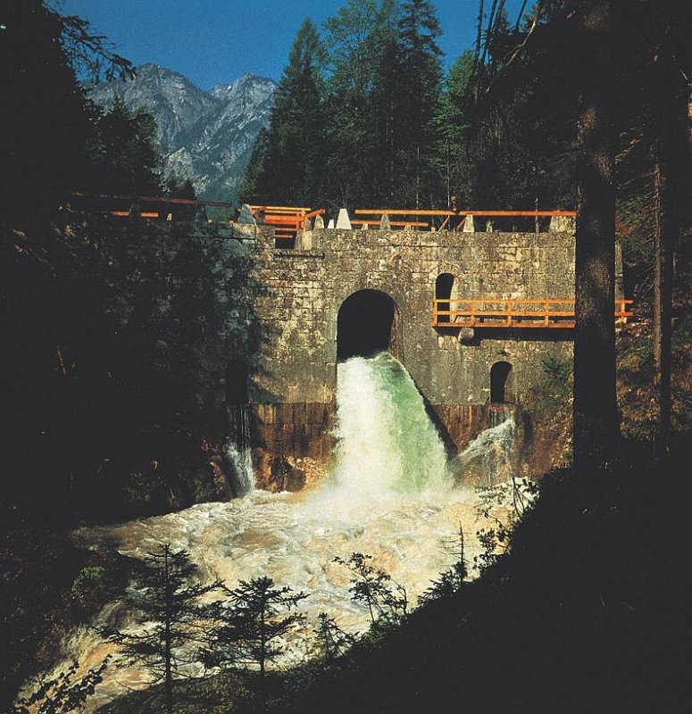
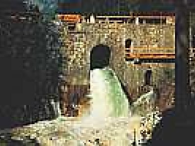
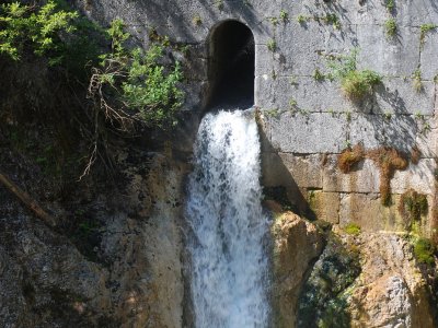
We cross a tributary of the Weißenbach and after about 800m the Chorinskyklause (km9.9) and the Weißenbachalm (Brunntalalm) are right in front of us. 400m later we turn right over the bridge (km10.3) to the alpine huts of the Weißenbachalm and after the bridge take the forest road to the right towards the valley.
It goes uphill again briefly and after the cattle grid we have a wonderful view in the direction of the Predigstuhl. About 3.3km later we join a forest road (km13.6) to the right coming from below.
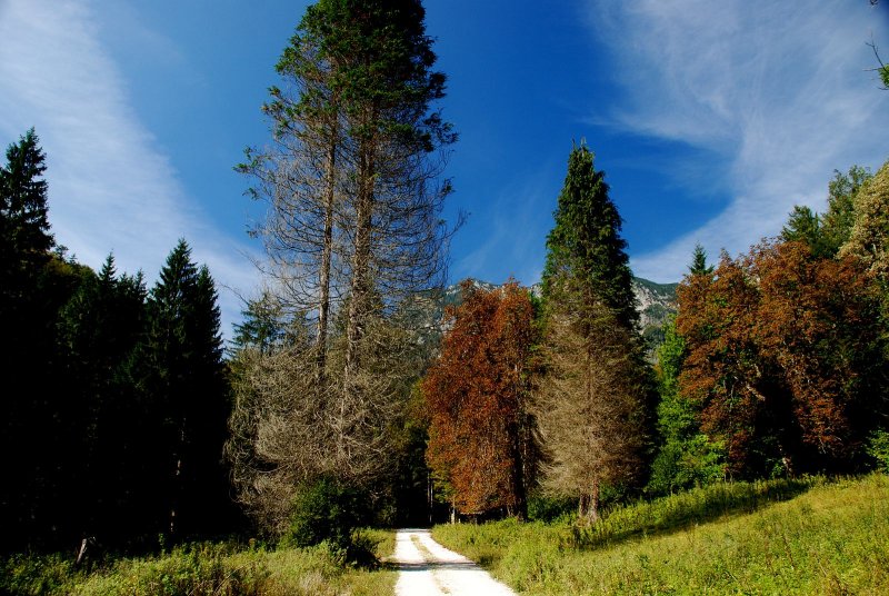
We always stay on the main path and do not pay attention to the paths or forest roads that flow into it, cross the Weißenbach towards the end and finally reach the small village of Weissenbach after 4.7km.
Now we continue on asphalt, after about 200m on the left the garden of the Weissenbachwirt (km18.5), we turn right here in the direction of the Traun bridge (km18.7) which we reach after about 200m.
Once we have started the round at the P&R iodine sulphur bath, we cross the bridge here to the B145 and turn left into the cycle path to the train station.
The original path turns right before the Traun bridge (km18.7) and follows the asphalt path following the signs, first slightly uphill, always staying on the main path, past the spa to turn left down after about 2.4km.
After a short descent, we turn left again along the Traun for 300m to the bridge, which we cross and then follow the Salzkammergut cycle path R2, through the spa gardens, to our starting point in 1km at the market town office.
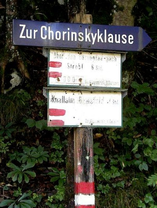
The burgundy mountain bike signage is clearly geographically located. Each waypoint has a unique number, e.g. 40702-0002, which is printed in the lower line of the logo. If you ever have difficulties, you can give this number to the Inner Salzkammergut Tourist Office and we will know where you are.
Safety
The Hochmuth circuit is a round trip and signposted with the number S310. Tours with 300 numbers have a route length of up to 30km. The indicated travel times are pure net riding times with the E-MTB without breaks such as photo stops, refreshments, etc.
To make the day perfect, here are a few tips that are worth paying attention to before each tour. In addition, be aware that you are moving in the mountains and therefore personal responsibility plays a major role. This applies to the selection of the route to be mastered, the expected weather and one or the other dead spot in which you will not find a mobile phone connection.
Equipment
Please note that any (E)MTB tour must always be mastered with impeccable equipment. Below are a few tips on preparation and equipment.
More offerson this mountainbike tour
To Austria’s last wooden logging dam
Bad Goisern | Chorinsky Klause (logging dam): Through the romantic Weißenbach valley to the last wooden logging dam in Austria. About a three-hour adventure hike for the whole family.
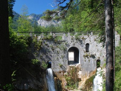
The "Chorinsky Klause" in Bad Goisern on Lake Hallstatt
Bad Goisern | Chorinsky Lock: When tons of water dash down to the valley - an unforgettable experience for the whole family.
Family bike tour to Chorinsky-Klause
Weißenbach valley to the last wooden hermitage in Austria. An adventure bike tour for the whole family. The bike tour takes about 3 hours. Endurance is also required for children on this tour!
Free accommodation for your cycling holiday in the Salzkammergut
Hotels and accommodation providers in Hallstatt, Bad Goisern, Gosau and Obertraun offer the ideal room or apartment for your holidays, no matter what your tastes. Aside from establishments rated according to the international "star" scale, you will also find around Lake Hallstatt in Austria businesses that have been awarded two to four "edelweiss". The more flowers, the greater comforts you can expect. Whether you eventually find your cozy nest in an elegant 5-star luxury hotel, at comfortable guesthouse, a family-friendly apartment, or on a traditional farm, the choice is always entirely up to you.